Students and staff turn unfinished floor into a map featuring several land masses
by Christina Jordan
Staff Reporter
seejay91@gmail.com
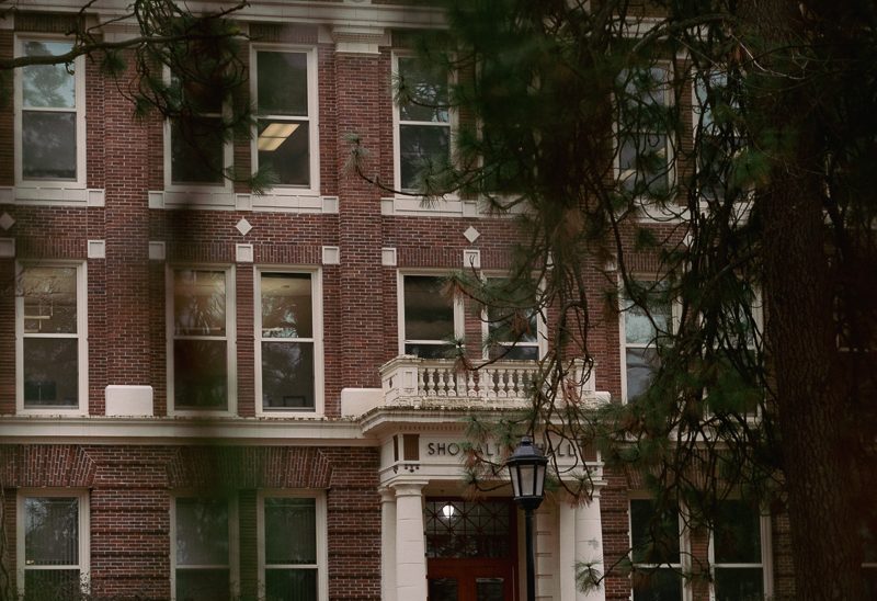
Students and staff in Isle Hall have been writing on the floors and they are not being punished.
The result of the many contributions is a map written in Sharpie on the floor in one of the hallways in Isle Hall.
LeAnn Knoles, who has an office adjacent to the hallway map, said that the map was started this summer after they ripped up the asbestos underneath the tiles and did major cleaning. The construction crew has not yet had time to refinish the floor, so in the interim students and faculty are having fun with it.
The hallway has a yellow hue with small brown specks on the base concrete.
The floor has been patched up several times and as a result features different colors and shapes of concrete splatters on top of the base concrete.
Participants have outlined the shapes with Sharpie marker and labeled the areas different things, like “Norland,” “Dire Straits” and “Sea of Biscuit.˝A large crack in the hallway was named “Isle Fault.”
A contributor outlined a large concrete shape, drew a line down the center, and labeled one side “us” and the other side “them.” On the dividing line, the drawing is labeled with the words “security fence” and “prison barrier.”
There is also a drawing of topographical contour lines in which is written “deep funk.”
Land masses or contour lines near professor’s doors have that professor’s name creatively woven into the name of the land mass.
For example, the area in front of geography professor Robert Quinn’s office is outlined and labeled “Bay O’Quinn.”
“I don’t know when they will finally finish the flooring,” said Knoles. “We kind-of do not want it to get done because we like our little map.”
Geography professor Michael Folsom, with an office opening to hallway, had a share in starting the map.
“The floor is scheduled to be finished over Christmas break,” said Folsom. “It is not my project, I just started it by writing ‘Dire Straits’ and outlining a couple of islands.”
“We are geographers, so we think in maps,” said Folsom. “I am also a boater, so I am constantly looking for [ways to] navigate around bays. When I looked at the concrete [chunks], I thought it looked like a map.”
Knoles asked permission to contribute to the map and outlined a small chunk of concrete, labeling it “New LeAnnland.” The island has a similar shape to Greenland.
“Everybody who felt like it contributed to the map,” said Sarah Keller, chair of the anthropology department. Keller’s office door also opens to the hallway with the map. The space outside of Keller’s office is labeled “Keller’s Graben.”
“It got started because they gave us a piece of ugly floor,” said Keller. “We had to do something about it. I read it every day to see if there is something new.”
According to Keller, the map started with mainly faculty contributions, but has moved to a heavy student contribution.
There is also an island that says, “This land is my land, this land is not your land, this land was made for me not you.”
Both Keller and Knoles were saddened by this contribution.
“We hoped that this map would not go in that direction,” said Knoles.
Folsom enjoys seeing the whimsical, clever contributions. He explained that some of the things written are funny, but others just take the “Kilroy was here” approach, in which students and faculty just wrote a form of their names.
“I get a big kick out of people who are just trudging along and then look at the floor and [notice] the map,” said Folsom. “If they stop, I will sometimes hand them a marker.”


